Меню
Geo page

Geodetic and geological surveys

We conduct a range of research: geological, geodetic, laboratory, technical and special surveys necessary for reliable and safe design.
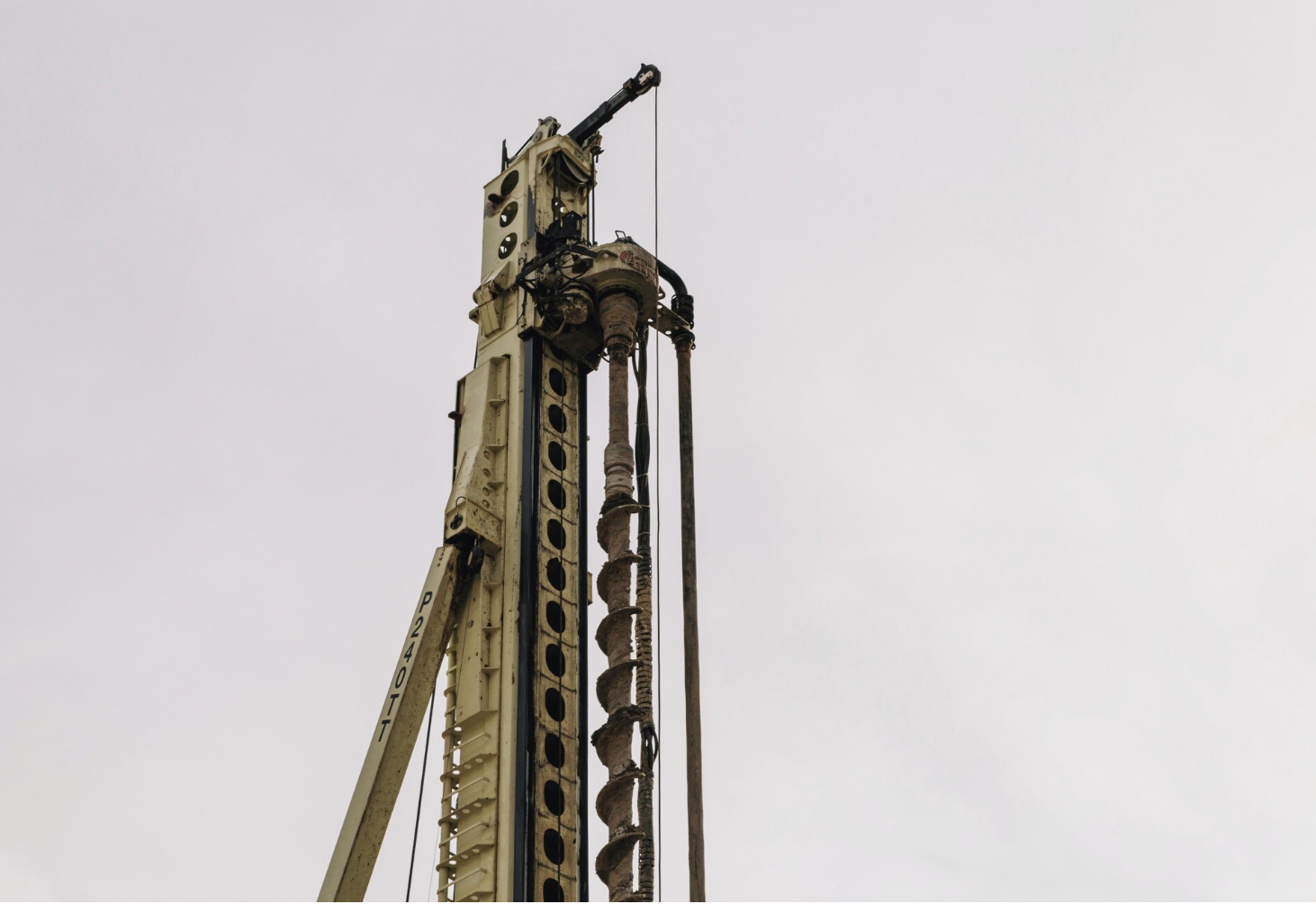
Engineering surveys
[ 1 ]

Geodetic surveys

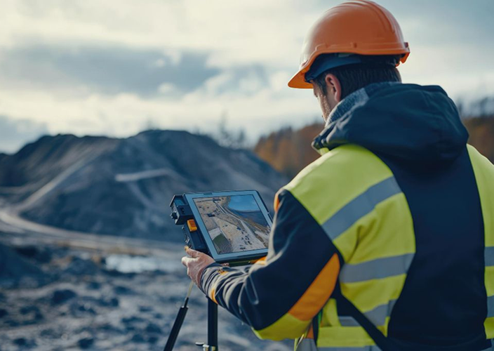
We provide a full range of surveying services, including topographic surveys, field layout of design solutions, and verification of the geometric parameters of buildings and structures. We provide high-precision determination of spatial coordinates, digital terrain modeling, creation of surveying control networks, and preparation of input data for design and construction.
Engineering and geological research
[ 2 ]

Engineering-geological surveys

We conduct engineering-geological surveys, which include drilling, soil and water sampling, laboratory evaluation of physical and mechanical properties, and analysis of geotechnical risks. The results of these studies make it possible to determine the bearing capacity of the soil, the groundwater level, predict deformations, and identify optimal design solutions for foundations and underground structures.
Design and modeling
[ 3 ]

Preparation of technical reports

We prepare technical reports based on a comprehensive analysis of field, laboratory, and desk data. The documentation includes a summary of soil conditions, conclusions regarding the site’s engineering-geological and geodetic parameters, as well as recommendations for design and subsequent construction work. The reports comply with current regulatory requirements and standards.
Geo background
  • 0
    Full cycles of project documentation development
  • 0
    Prepared technical reports
  • 0
    Qualified specialists on staff
  • 0
    Completed turnkey projects
Research institute

Залиште Ваш запит у формі!

Our specialists will promptly provide advice, prepare a proposal, or help resolve a technical issue.

Ми цінуємо Ваш час і завжди відкриті до співпраці.